By Cris Sellares
Aims
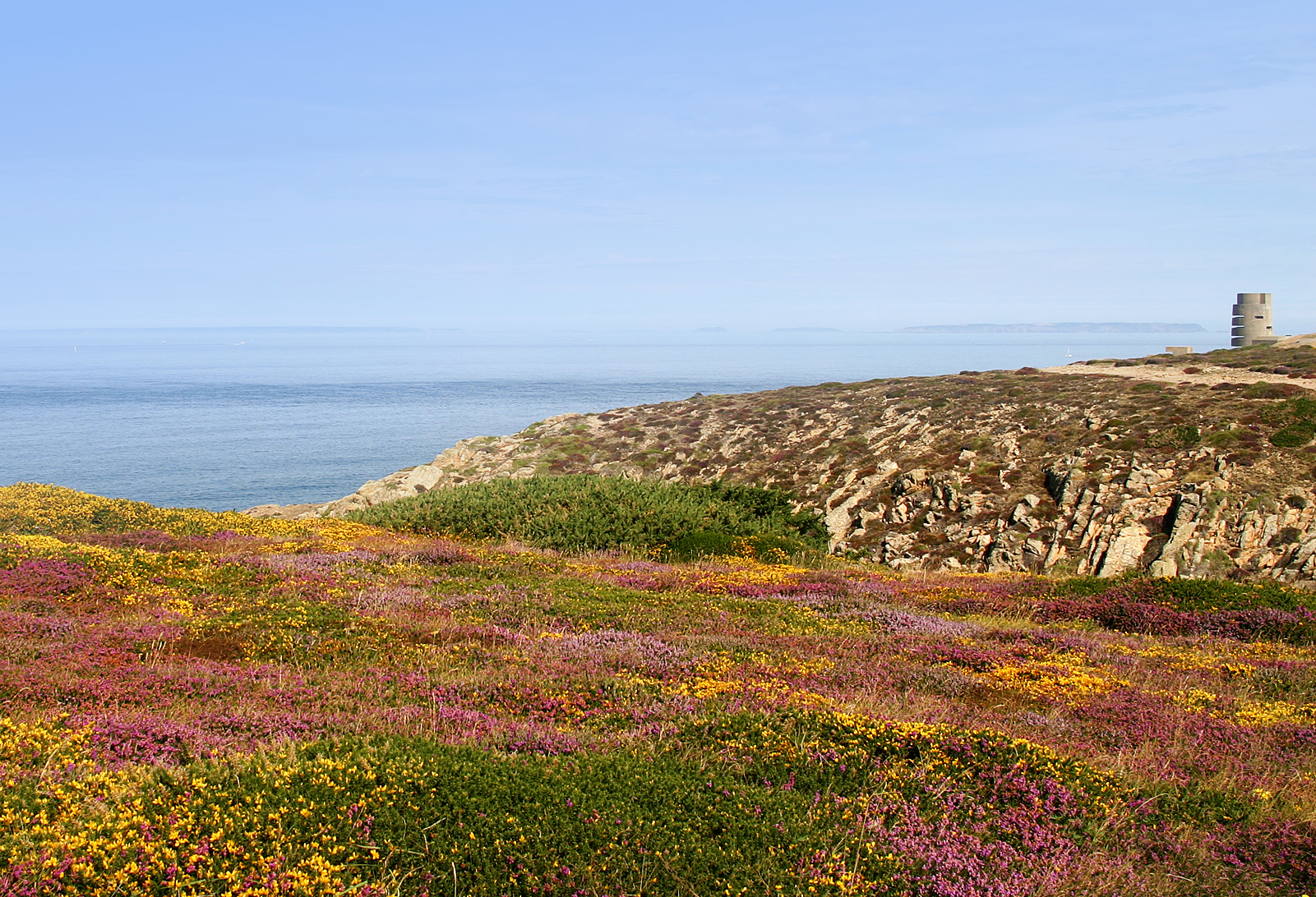
 This survey aims to establish the number and location of breeding pairs of selected bird species within the BIRDS ON THE EDGE project area i.e. the Island’s coastal land. We will set out to do this in several sections of the coastland and will start with the north-west coast from L’Étacq to Sorel Point. Data collected will not only allow us to map the most important areas on this coast for the focal bird species (see Birds) but can also be used in future studies on population trends.
We cannot expect to look at all possible bird species so will concentrate on the following ones:
- Linnet
- Stonechat
- Skylark
- Common whitethroat
- Dartford warbler
- Meadow pipit
- Jackdaw
- Raven
- Peregrine falcon
- Kestrel
 We will also restrict the survey to a narrow strip along the coast as we already know that none of these birds, except the kestrel, nests further than only a few metres almost, inland from the coastal cliff path. The widest area of habitat suitable for these species is at Les Landes as they do not breed in developed or farmed land. It is likely too that a very high proportion of Jersey’s entire breeding population of several of these species is restricted to the north-west coast.
Methodology
The number and location of the chosen bird species will be established by using information provided through existing ongoing surveys including the Farmland Bird Survey transects at Sorel Pont (two transects), Crabbé and at Les Landes (two transects) and the BTO Breeding Bird Survey (BBS) squares in the area.
The gaps in the study area between the transects and BBS squares will be surveyed by a team of volunteer observers co-ordinated through the Société Jersiaise Ornithology Section. The observers will record the location of breeding pairs and breeding behaviours such as singing, territorial displays, nest-building and food delivery to the nests by direct observation from the coastal path. Each observer will be given maps and a handheld GPS so that they can mark the location of each observation. In many cases more than one visit by different observers might be needed to confirm the location and status of the breeding site.
Results
This quick, easy and enjoyable bird survey will give BIRDS ON THE EDGE invaluable data for producing maps showing the location of each of the most important bird species and numbers that we can compare with repeat surveys over the years. We will also enlarge the survey to cover other stretches of the coast in the next few years.
If anyone is interested in contributing to the survey by spending an hour or two on our beautiful coastline watching the birds please make contact through this website.